On approach
Call the harbour office on VHF channel 68 or at (450) 542-1989. Wait for instructions before docking: our staff will show you your slip and take your lines. No wake in the marina.

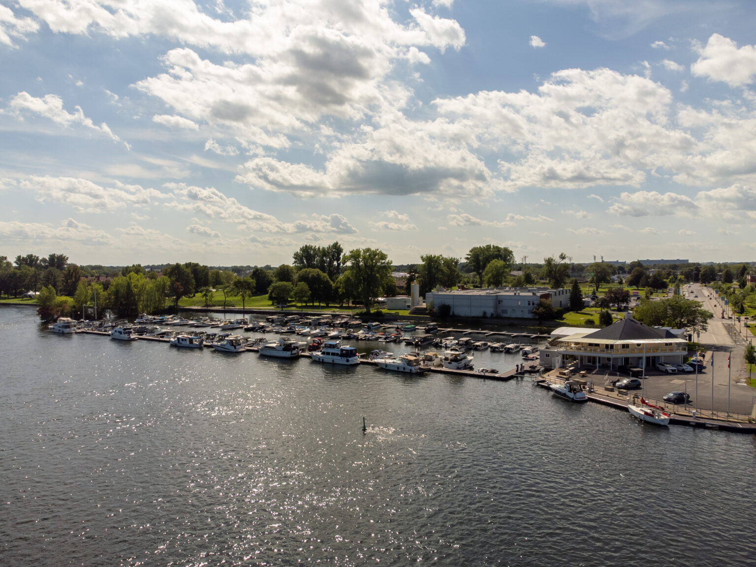
Arriving by the Richelieu or by car, and finding your way around the marina.
Tap a point on the map to see what’s there.
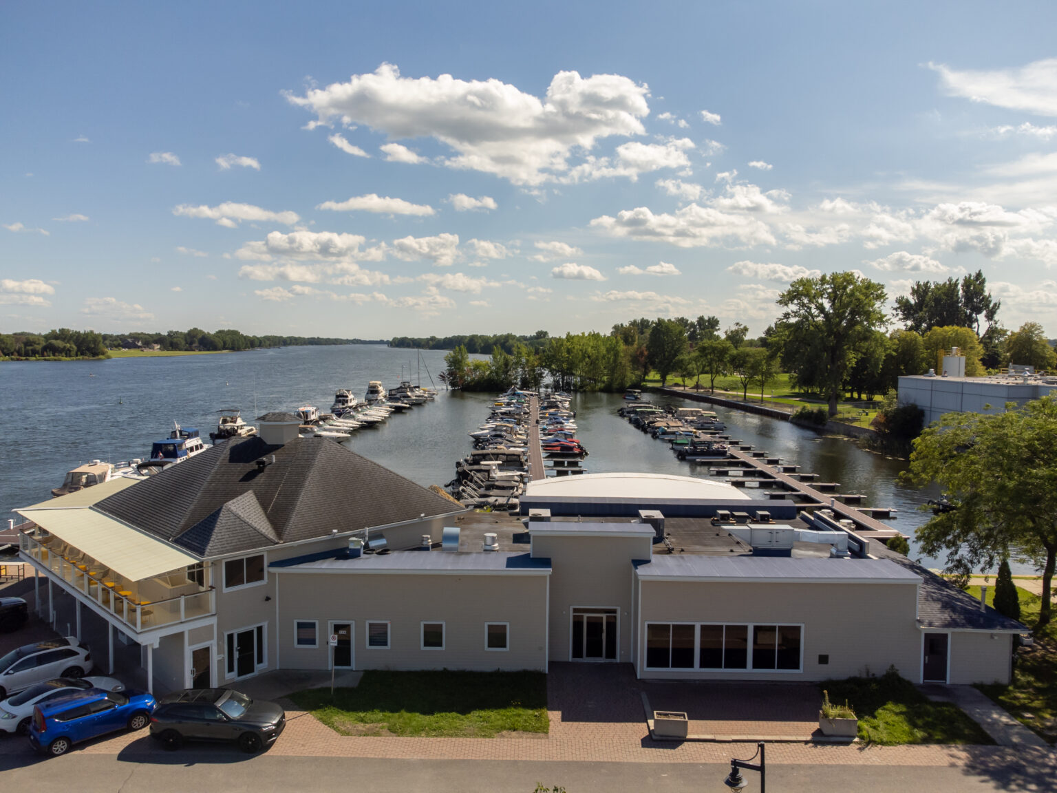
opening hours
Check-in on arrival, access cards for the docks and washrooms, Wi‑Fi password.
The harbour office storeToilets and showers for boaters, next to the harbour office, with an access card.
Something wrong? Report it with the QR code posted in each washroom.
Fuel dock (unleaded), during harbour office hours: call before approaching.
Grey and black water pump-out, with an attendant. Included in plans with services.

200 slips, for the season or a transient stay. The harbour office assigns each slip based on boat size and the services you need.
Slips and plans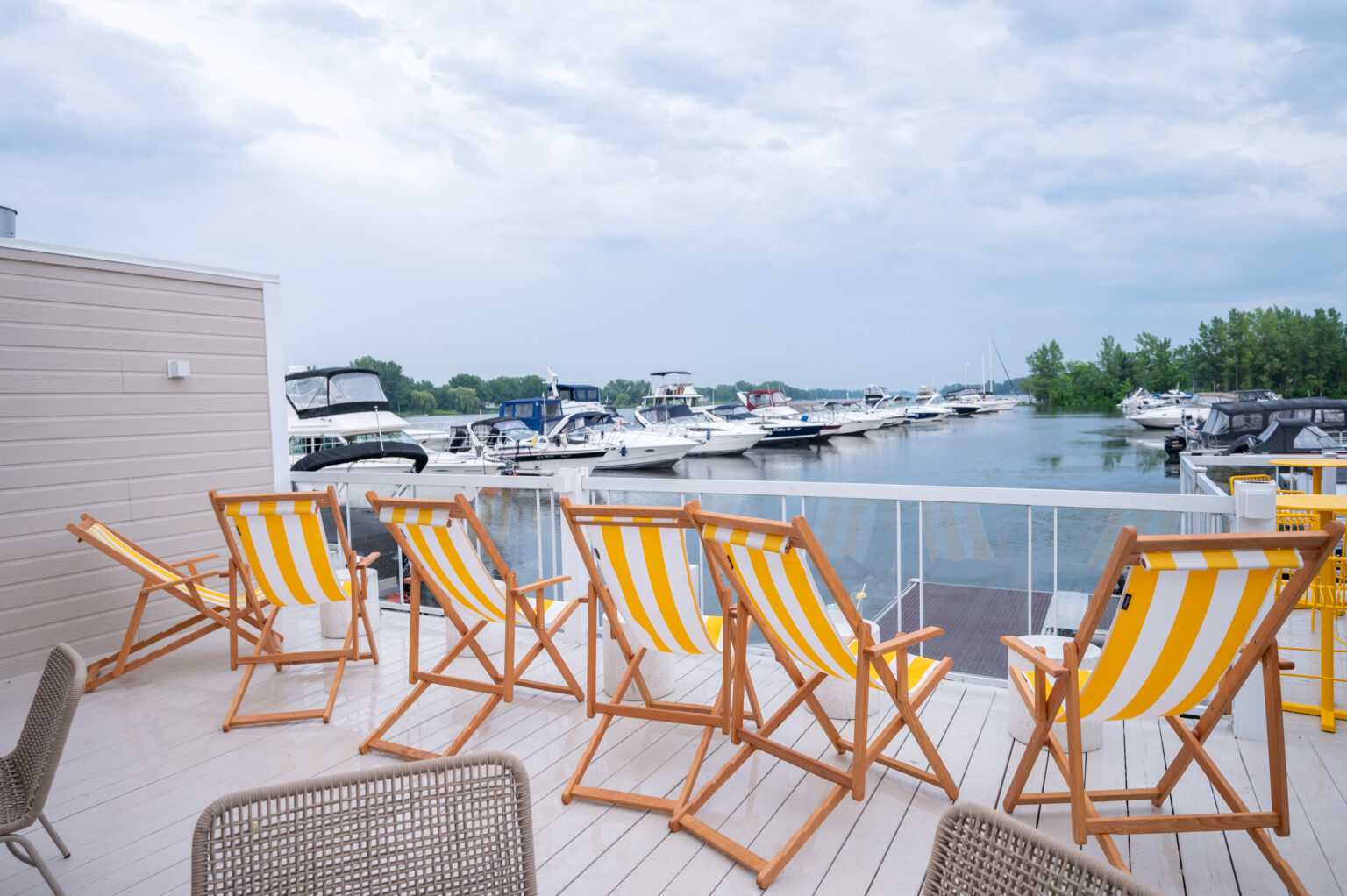
The restaurant and its waterfront terrace. Free hourly docking for its customers.
The Les Berges website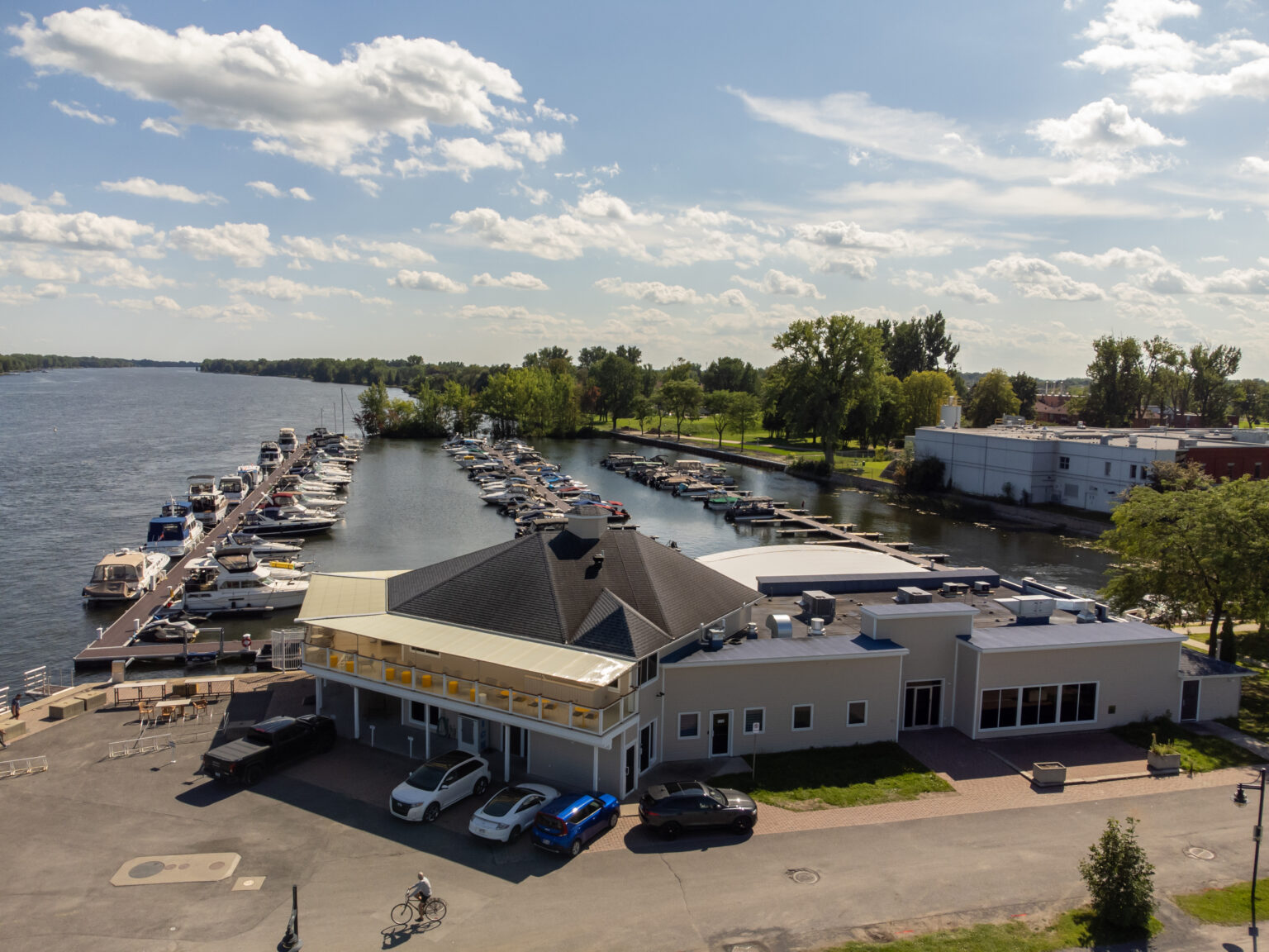
A free lot between the harbour office and the service dock, two paid lots less than a minute away (P5 and P22), and five free lots a few minutes’ walk away.
All parking lots and the season permitLabelled bins for waste and recycling.
Oil and batteries never go in the trash. Ask the harbour office what to do.
Enter your boat’s measurements and the direction you are coming from: Noyan Bridge to the south, the Chambly Canal locks to the north. Results are a guide only: the harbour office and Parks Canada have the final say.
Lake Champlain level at Rouses Point
… loading today’s level…
Chambly Canal locks
—
9 locks over 19 km, at least 4 hours to transit. Lock 9 (Saint‑Jean): 450-348-3392, VHF channel 68 during lock hours.
A free lot between the harbour office and the service dock, two paid lots less than a minute away, and five free lots a few minutes’ walk away. You can pay with the Secunik app.
| Lot | Walk to the marina | Rate |
|---|---|---|
| Marina, between the harbour office and the service dock | Under 1 min | Free |
| P5 | Under 1 min | $1/h |
| P22 | Under 1 min | $1/h |
| P2 | 3 min | Free |
| P8 | 5 min | Free |
| P16 | 8 min | Free |
| P17 | 8 min | Free |
| P18 | 8 min | Free |